Trail Guide to Mt Baldy in Kelowna, BC

Mt Baldy is easily identified by its distinct lack of trees. Enjoy amazing views of Kelowna from the top!
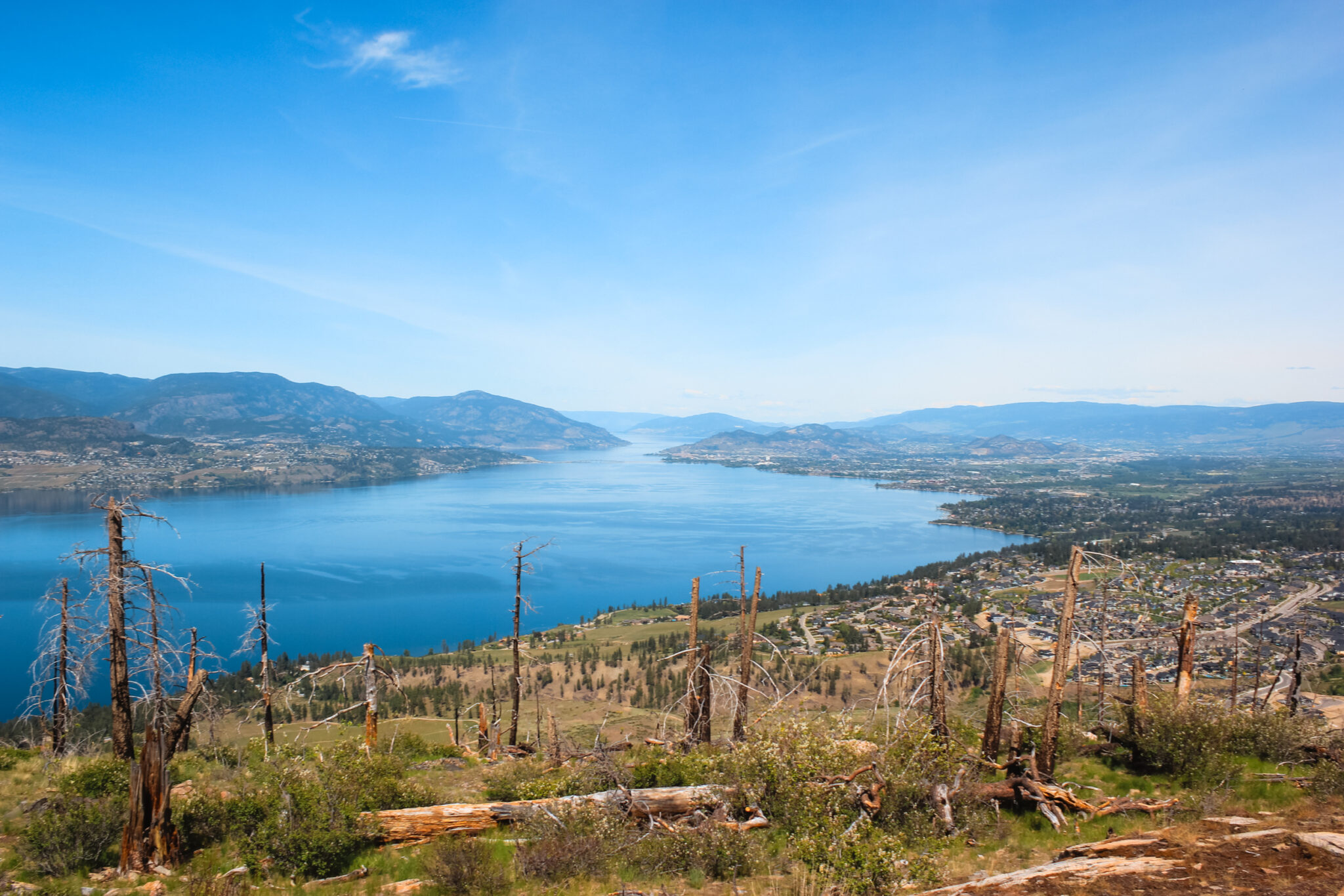
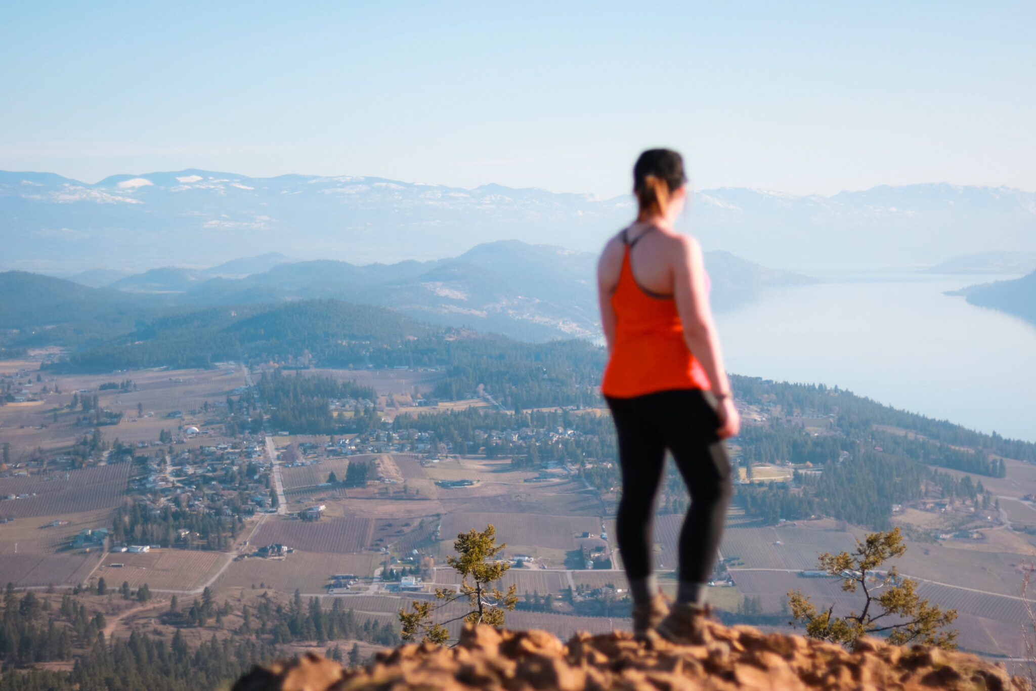
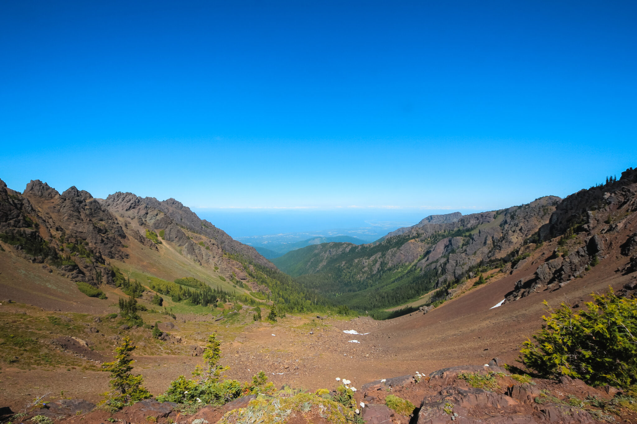
Are you looking for an easy hike that offers amazing views? Or the perfect after work hike? Look no further than Mt Baldy in Kelowna! Mt Baldy is located between Rutland and Glenmore and is a short, fairly easy hike. It’s ! From the top, you’ll be greeted with superb 360° views of northern Kelowna.
Mt Baldy is a short, fairly easy hike but you will be exposed for most of it. When you see Mt Baldy from a distance, it’s clear how it got its name. The mountain has very few trees and looks bald compared to the surrounding mountains. Bring plenty of water to keep yourself hydrated in the hot sun.
No matter which trail you choose, you’ll enjoy the beautiful views from this quiet mountain.

Trail Stats
- Difficulty: Moderately easy
- Trail Type: Loop
- Length: 4.9 km (see map)
- Trailhead: Mt Baldy Drive
- Open Dates: Year-round
- Fee: Free
Amazing Views of Kelowna
As you hike, you’ll have fantastic views of the city as well as Dilworth Mountain and Glenmore. The bird’s eye view of the area really lets you scope out the area and enjoy panoramic views without having to do an overly difficult hike.
Mt Baldy is adjacent to Dilworth Mountain and the park is mainly used by hikers, runners, and mountain bikers. The mountain is privately owned and the back side is zoned for residential developments, however the majority of it is meant for park space.
What to Expect
There are two entrances to Mt Baldy. One is just off the side of Rifle Road (which is the main road up Dilworth Mountain) and the other is at the end of Mt Baldy Drive. I’ve always used the Mt Baldy Drive entrance because there is plenty of parking alongside the residential road.
Regardless of which trailhead you start at, the beginning of your hike will be through a field of long grass. The trail is well worn and hard to miss. Because of the long grass, you need to be extra aware of ticks. Always check yourself, your friends, and any animals you bring with you.
Choose Your Adventure
There are three trails up the mountain. The southern trail heads up the spine of Mt Baldy and is clearly visible as you begin your hike. The western heads up the side of the mountain after bringing you through a sparse forest. The third trail (which I’ve always descended on) is on the northern side of Mt Baldy and is far more forested than either of the other two trails that head up the mountain.
There are also two trails along the base of the mountain that complete the loops. The western loop is quite forested and is a wonderful trail if you’re looking to stay out of the sun. The eastern trail will bring you to the very base of Mt Baldy and, for the most part, is entirely exposed. Once you’re at the base of the mountain, the trail is extremely flat and straight.
The Trails at Mt Baldy
There are two main “loops” around Mt Baldy. They’re both roughly the same distance and take about the same time to explore. Generally, each loop takes between 30 to 60 minutes to hike and you can easily explore both in the same outing. Having said that, the trails are interchangeable and you can easily make your own loops.
When you summit Mt Baldy, you’ll gain quite a bit of elevation very quickly. The spine gains about 100 meters in 0.5km and offers the best views of all the trails. The western trail is a little easier because it starts higher than the spine, with a gain of about 25 meters in 0.2km. The northern trail gains about 70 meters in 0.3km and is the most forested of the three trails.