Hiking the Enderby Cliffs (aka Tplaqin) Trail: A Top Okanagan Hike
Disclaimer: Explore the Map contains affiliates links and is a member of the Amazon Services LLC Associate Program and other affiliate programs. If you make a purchase using one of these affiliate links, I may recieve a compenstation at no extra cost to you. Read my disclaimer for more information.
If there’s one hike in the North Okanagan that always delivers, it’s the Enderby Cliffs. Or as it’s traditionally known by the Splatsin people, Tplaqin (pronounced teh-blah-kin), meaning “cliff.” It’s a name that fits like a glove.
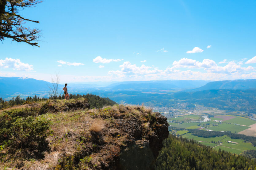
Towering nearly 900 metres above the valley, these foot-shaped cliffs are hard to miss. They rise up like ancient stone sentinels, keeping watch over the winding Shuswap River and patchwork of fields below. I’ve hiked this trail since I was a kid and it still kicks my butt—but I love it every single time.
The trail is steep, switchback-y, and kind of relentless. But the views from the top are worth every sweaty step. You’ll look out over the Okanagan and Shuswap like you’re standing at the edge of the world. And if you’re lucky, you might even spot an eagle floating past at eye level!
Whether you’re here for the workout, the wildflowers, or the “whoa” moment at the summit, the Tplaqin Trail is a hike you won’t forget.

Enderby Cliffs Trail Stats
This hike is no joke—it’s a long, steady climb pretty much the whole way. But the trail is well-maintained, clearly marked, and full of awesome views. Whether you’re in it for the workout or just wanna feel like you’re on top of the world, this one’s a must.
- Location: Enderby, BC
- Type: Out-and-back
- Distance: 12.6–16 km (depending how far you go at the top)
- Elevation Gain: 657–900 m
- Time: 3 to 6 hours round trip
- Trailhead: Brash Allen Road
- Fees: Free
- Dogs: Allowed, but must be leashed
- Outhouses: Yes, at the trailhead (closed in winter)

Is the Enderby Cliffs Hike Worth It?
Short answer? Yes. Long answer? Also yes—but with snacks and a solid pair of hiking boots.
I’ve been hiking the Enderby Cliffs since I was a kid—and it still gets me every time. The climb is long, the switchbacks feel never-ending, and yes, I still get sweaty way too early.
But there’s something about this trail that keeps pulling me back.
Maybe it’s the view from the top. Maybe it’s the quiet of the forest. Or maybe it’s just me trying to prove (again) that the climb might feel easier this time. Spoiler: it doesn’t.
But every time I hike it, I notice something new—a fresh patch of wildflowers, an eagle coasting on the breeze, or that moment of calm at the summit when the wind dies down and the whole valley stretches out below you.
The Tplaqin Trail is challenging, beautiful, and deeply tied to this region. It’s not just a good hike—it’s a classic. And even after all these years, I’m still not over it.


Hiking the Tplaqin Trail (Enderby Cliffs)
Alright, boots on—let’s do this. The Tplaqin Trail is a climb, no doubt about it, but it’s the kind that leaves you grinning (and maybe gasping a little) the whole way up.
From shady forest paths to cliffside views that’ll stop you in your tracks, here’s what the Enderby Cliffs hike is really like.
The Trail Begins
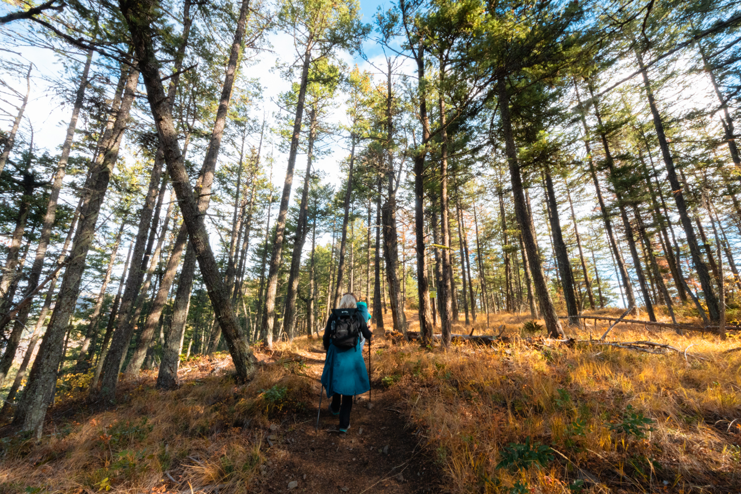
The Enderby Cliffs hike kicks off from the parking lot on Brash Allen Road. After crossing the road, you’ll follow a dirt path beside a private driveway—just stick to the marked trail. Once you pass through the fence and into the trees, you’re officially in Enderby Cliffs Provincial Park.
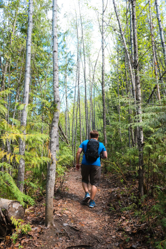
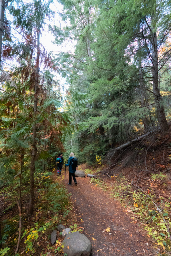
The first section wind along the base of the mountain before it climbs steadily along an old logging road. It’s not too steep, but you’ll definitely feel it. The forest is lush and shady, filled with birch, fir, and cedar. The trail is well-marked with orange blazes and easy to follow—no guesswork needed.

The Shrine
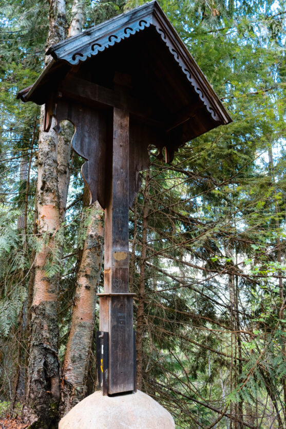
About 2 km in, you’ll reach the Shrine, a small rest stop with a wooden cross and a bench.
This unofficial landmark is where the old road and trail split, and it’s a popular spot to take a breather before the next big climb. If it’s dry (and the mosquitoes aren’t too wild), it’s a decent place to chill for a minute.
Climbing the Switchbacks
Past the Shrine, the Enderby Cliffs trail winds into a series of long switchbacks. They’re gradual but steady—and yep, they go on for a while. Your first reward is the Shuswap Lookout where the forest clears just enough to see the river and valley stretching out below.
Keep going and you’ll hit the Larch Hills Lookout, about 3 km from the trailhead. You’re halfway up the Enderby Cliffs by this point and the view is a beauty. It’s a popular turnaround spot if you’re short on time, but if you can, keep climbing—it only gets better from here.

The Final Push
The last section of the Enderby Cliffs hike brings you through a peaceful cedar grove and into some tighter, steeper switchbacks. Eventually, you’ll emerge along the edge of the cliffs themselves. The views open up big time and every few minutes you’ll hit a new lookout that somehow tops the last.
The trail gets close to the edge in some spots, so watch your footing. My favourite viewpoint is the first one where you’re eye-level with the foot-shaped Enderby Cliffs—it’s wild how high you’ve climbed!
Lots of people stop here and head back down, but you can continue up to the true summit.


The Summit
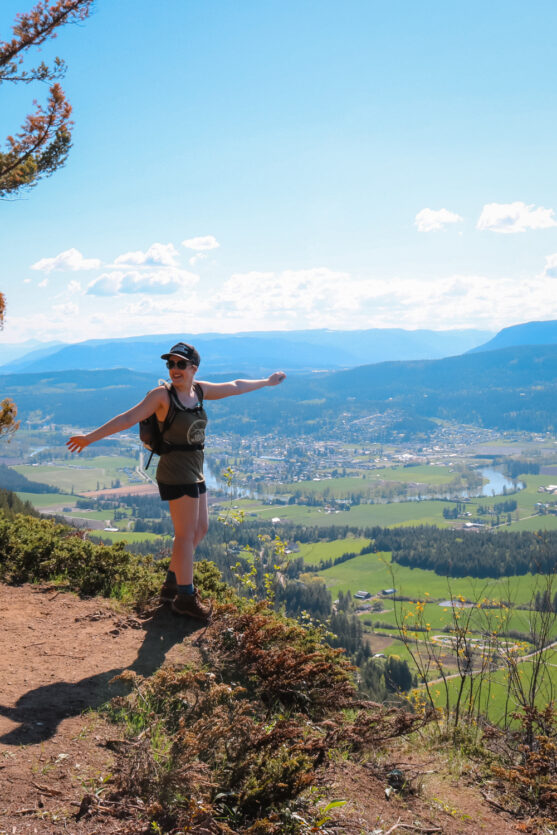
The summit of Enderby Cliffs isn’t marked, but you’ll know when you’re there. It’s a big open area with sweeping views in every direction—the Shuswap River winding through the valley, lakes sparkling in the distance, and farmland stretching as far as the eye can see.
You’ve earned this view! Sit down, snack up, and soak it all in.
Once you’re ready, head back down the same way you came. The Tplaqin Trail may be tough, but the return trip is a whole lot easier—and you’ll be glad you made the climb.

When to Visit the Enderby Cliffs
One of the best things about Enderby Cliffs is that the trail is open year-round and every season brings something a little different. Whether you’re chasing wildflowers or fall colours, there’s no bad time to hike the Tplaqin Trail—you just need to be prepared for the conditions.
Spring
Spring is one of my favourite times to hike Enderby Cliffs. The forest is fresh and green, the wildflowers start blooming, and the temps are just right—not too hot, not too cold.
That said, the trail can be muddy, especially near the start, and you might still hit patches of snow higher up. Waterproof boots and a few extra socks go a long way this time of year.
Summer
I’ll be honest—summer on Enderby Cliffs can be a bit of a sweat-fest. The trail gets hot fast and there’s not much water, so bring lots to drink.
Bug spray is a must too—especially in the forested sections. If you’re hiking in July or August, try to start early (like, pre-9am early) or go later in the day and keep an eye on the sunset.
Fall
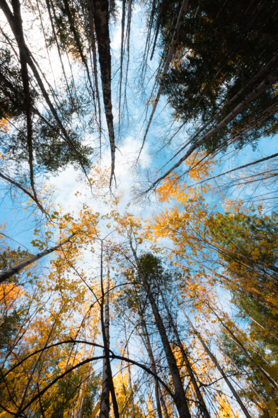
Autumn is beautiful on the Enderby Cliffs trail! The trees light up in every shade of gold and orange, and the cooler air makes the climb a lot more manageable.
You might hit the odd bit of snow in late fall, but it’s usually still hikeable until the end of October. Just bring layers—fall weather loves to change its mind.
Winter
Yes, you can hike Enderby Cliffs in winter! But you’ll want to be extra prepared. The trail isn’t maintained, the outhouses are closed, and the snow can get deep and icy.
If you’re heading up in the colder months, pack microspikes, warm layers, and hiking poles. It’s quieter, peaceful, and beautiful in the snow—just a bit more rugged.

Tplaqin: More Than Just a Hike
The towering cliffs above Enderby aren’t just a scenic landmark—they’re part of a sacred place known as Tplaqin, which means “cliff” in Secwépemctsin, the traditional language of the Splatsin people.
Tplaqin has been significant to the Splatsin for generations. The area is part of their unceded territory and holds deep cultural, ecological, and spiritual importance. It’s used for traditional practices like hunting, gathering, and connecting with the land. When you hike this trail, you’re walking through a place with stories and meaning that stretch far beyond any guidebook.
In recent years, BC Parks has been working alongside the Splatsin to officially rename the park Tplaqin/Enderby Cliffs Provincial Park—a step toward recognizing and respecting the history of this land.
The trail you hike today is also the result of collaboration. In 2010, the Splatsin, BC Parks, and the Shuswap Trail Alliance came together to rebuild the old route to make it more sustainable and accessible while protecting this special place from erosion and overuse.
Plants & Wildlife at Enderby Cliffs
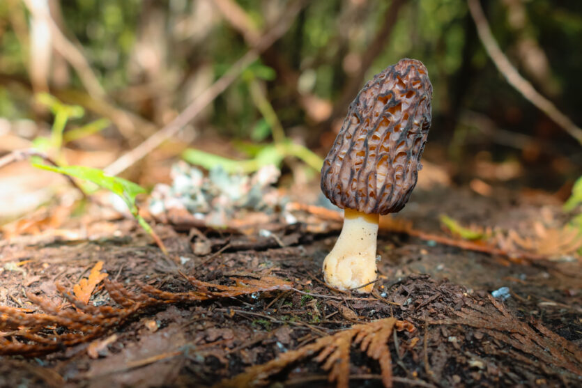
One of the coolest things about hiking Enderby Cliffs is how the landscape changes as you climb. From leafy birch groves to dry sagebrush slopes and dense cedar forests, the trail winds through a surprisingly diverse mix of ecosystems.
You’re not just hiking a cliff—you’re hiking through a whole transitional zone between the North Okanagan Highlands and the North Thompson Uplands. Nerdy? A little. Awesome? Absolutely.
What You’ll See
Early on, you’ll pass through groves of birch, aspen, and fir. As you climb, the forest thickens with cedar and hemlock, and you’ll catch glimpses of volcanic rock and old fossil sites.
In the spring, wildflowers like glacier lilies, ladyslippers, and arrowleaf balsamroot pop up along the trail. It’s a full-on nature show if you time it right.
You might also spot signs of fallen trees or branches—totally normal out here. Just watch your step and be ready to climb over the occasional log.
Who You Might Meet
Enderby Cliffs Provincial Park is home to all kinds of wildlife—some small and cute, others big and better admired from a distance.
Eagles and other raptors are often spotted soaring along the cliffs, riding the thermals like pros. Keep your eyes peeled—seeing one up close is honestly kind of magical. You’ll also hear tons of songbirds if you hike in the morning.
Deer are common, and the area is also a winter range for mule deer. But don’t forget—grizzly bears, black bears, moose, and even cougars live in this region. While sightings are rare on the busy trail, it’s still important to come prepared.
A Few Wildlife Safety Tips
- Bring bear spray and know how to use it
- Make noise while hiking—talk, sing, or give your poles a little clack
- Keep dogs leashed at all times
- Never feed wildlife, and give them lots of space
- Pack out all your garbage (yes, even apple cores and orange peels)
Treat the trail like it’s someone else’s home—because, well, it is.

Gear Suggestions
Since the Enderby Cliffs is a full day hike and fairly difficult, it’s important to be prepared before you head out. In addition to the ten hiking essentials that you should always pack, the following gear will make your hike a lot more enjoyable — and safe!
- Water: Bring lots of water! There isn’t much water on the trail, so you’ll need to pack enough for your hike. I prefer hydration packs instead of water bottles because it’s easier to stay hydrated. Consider electrolyte tablets, too, so you can keep up your energy.
- Bear spray: I always carry bear spray. The wilderness is full of animals and it’s better to be over-prepared than under. In BC, bears, cougars, and other large animals call the mountains home. Even with bear spray, remember that there’s a lot more to bear safety than just carrying bear spray.
- Foot care: Hiking all day can really wear on your feet. Make sure your feet are prepared by reading up on preventative foot care.
- Bug spray: Bug spray is a good idea because some spots are pretty mosquito ridden.

Enderby Cliffs Hiking FAQ
Most people complete the Enderby Cliffs hike in 3 to 5 hours round trip. If you’re taking it slow or spending lots of time at the lookouts, give yourself closer to 6 hours.
The Tplaqin Trail is considered a moderately difficult hike. It’s a long, steady uphill climb with nearly 900 meters of elevation gain. It’s challenging, but manageable with a good pace and proper gear.
Yes, dogs are allowed on the Enderby Cliffs trail, but they must be kept on a leash at all times. Be sure to bring extra water and clean up after your pup.
The best time to hike Enderby Cliffs in British Columbia is between April and October. Spring and fall offer cooler weather and colourful views. Summer is beautiful but can be hot, while winter hiking requires proper gear and caution.
Yes, there’s a large paved parking lot at the Enderby Cliffs trailhead on Brash Allen Road. It has space for about 35–40 vehicles and includes outhouses (closed in winter).
There are outhouses at the Tplaqin Trail parking lot, but there are no facilities on the trail itself. In winter, the outhouses are not maintained.
Yes, the Tplaqin Trail is easy to follow. It has clear signage, orange blazes, and a well-worn path all the way to the summit.
The biggest hazard on the Enderby Cliffs hiking trail is the steep cliff edge near the summit. Stay back from the edge, especially if you’re hiking with kids or dogs. Also be aware of loose rocks, muddy sections, and potential wildlife encounters.
Winter hiking is possible on the Enderby Cliffs trail, but the trail isn’t maintained and can be snowy or icy. Bring microspikes, warm layers, and hiking poles, and check conditions before heading out.
You may see eagles, deer, and squirrels while hiking the Enderby Cliffs trail. The area is also home to larger animals like black bears, grizzly bears, moose, and cougars. Carry bear spray, make noise, and follow Leave No Trace principles.

Final Thoughts on Hiking Enderby Cliffs
Whether you call it Enderby Cliffs or Tplaqin, this trail is something special. It’s steep, sweaty, and a bit of a leg-burner—but it’s also one of the most rewarding hikes in the Okanagan–Shuswap!
You’ll work hard for those views, but once you’re standing at the top, looking out over the valley with the wind in your face and eagles soaring by, you’ll get it. There’s something about this place that sticks with you.
I’ve hiked Enderby Cliffs more times than I can count, and it still manages to surprise me—whether it’s new wildflowers, fresh snowfall, or just a quiet moment with no one else around. If you’re in the area and up for the challenge, this hike should be at the top of your list!
So pack your snacks, lace up your boots, and hit the trail. The cliffs are calling.

More Hikes Near the Enderby Cliffs
If you loved hiking the Enderby Cliffs, you’re in luck—there are plenty of other gorgeous trails nearby to keep your legs moving and your camera roll full.
Here are a few of my local favourites in the North Okanagan–Shuswap region:
- Mara Provincial Park: A super chill spot just outside of Enderby with a short lakeside trail. Great for a post-hike cool down or a low-key walk if you’re not feeling another big climb.
- Mount Rose-Swanson: Located in Armstrong (about 25 mins away), this loop trail gives you solid views with a bit less effort than Tplaqin. It’s a good pick for a quieter day on the trails.
- Sicamous Lookout: If you’re heading toward Shuswap Lake, this short but steep trail leads to a hang-gliding launch with a panoramic view over Mara Lake and the surrounding valley. It’s not far from Sicamous and the views are amazing!